And further to the South…

So where else should we look for climatic analogs to the ecosystems of the Western US? Head north, from Antarctica into the Pacific, staying close to the South American coast. To the east, the Andes rise out of Tierra del Fuego, building a very effective barrier to moisture for thousands of  kilometers. Since the earth mirrors the atmospheric circulation on both sides of the equator, this means that the pattern of vegetation – from rainforest, to chapparal, to desert and then into the tropics in North America – repeats in reverse to the South. After the tropical belt comes the Atacama desert, then the Chilean Mattoral, and then the Valdivian rainforest, a twin to its North American counterpart in Cascadia.

Compounding the eerie similarity is the geology. Just as in Cascadia, a subduction zone lies off the coast of Chile, with the Nazca plate diving under the South American, periodically firing off massive earthquakes as it does. Jammed under the earth’s crust as they are, both plates send enormous plumes of melted rock to the surface where they express themselves as chains of spectacular volcanoes, one each for the Americas North and South.

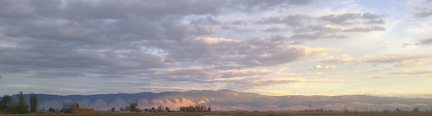
Head to the lee side, and the drop out of the Andes takes you through the transition zone of dry forests and prairies. It’s no great surprise that Ponderosa pine, the iconic forest tree of the interior West, finds a home on degraded range in those borderlands. Travel further and you’re in the Patagonian steppe, indistinguishable to the untrained eye from the Great Basin.

Central Asia as Surrogate

Years ago, at the Forestry and Range Lab where I worked, we hosted Alexander Isaev, then Forest Minister of the old Soviet Union. He’d been appointed to the position because, as he told me through his interpreter, he’d “complained so much that Gorbachev said ‘you take the job'”. The very first thing I’d questioned him about was his impression of traveling through Oregon. He’d just flown in from the other side of the Cascades the previous evening. That thin strip of well-watered forest usually draws all the attention from visitors, especially the lush temperate rain-forest in the coastal mountains. A world-away from the dry interior, it edges its way southward along the Pacific Coast down from British Columbia, finally tapering to a width of of no more than a few miles populated by redwood stragglers tucked away on isolated mountain peaks and in the hidden canyons fingering into Mediterranean California. I was expecting he’d reflect on that world. Instead he paused for a few seconds and looked up and away, into his past it seems. When he woke that morning and looked out his window, he thought of his first posting as a young forester, to Samarkand.

That’s a clue, and a good one. Much of Central Asia has a similar climate to the American West. I remember eagerly leafing through Heinrich Walter’s Climate Diagram World Atlas many years ago (some of which have now found their way online), quickly locating analogs to the climate of the region we’d moved to in Northeast Oregon. These analogs included places like Van, Turkey and Tashkent, Uzbekistan.

The difference is that such a vast place has been host to any number of nomadic tribes roaming from Europe to Asia and back, a human wave of aggregate demand on the land that was just as vast in its effects. We’ve all heard the stories of ransack, rape, and pillage. Notice that those are all human-centered observations. What usually gets lost in the telling is the ecological history of the Eurasian landmass.

Any number of  dramatic mountains and highlands  should, and at one time did, host thickly forested montane ecosystems. Some, such as the Anatolian plateau, the Lebanon, and anti-Lebanon ranges, and the Zagros mountains have been deprived of most of their forest cover.  Too often that has meant the soil that held them in place and nourished them has vanished as well. First the superstructure of trees that ameliorated the above-ground climate and tempered the erosive force of water was removed. Then the substrate that acted not just as a physical prop, but which hosted the nutrients needed to feed the trees, and likely the micro-organisms needed to produce future forest stands as well, was carried off by wind and water.

Other mountain systems have been subjected to an ever-retreating treeline which has pushed those ecosystems further and further up their heights. The Caucasus, the Tien-Shan, and other spectacular ranges have seen their share of human activity and the impact has been significant.

Rainshadow…

What makes the American West different? My guess is the length of time it’s been subject to dense human settlement and the serendipitous arrival of those settlers when fuel sources other than wood were just becoming available.

There are at least a few parts of the world that have similar climate patterns and vegetation, though the very size of the ecosystem in Western North America insures that there won’t be many worldwide. The mountain blocks that divide wet from dry, or at the very least semi-arid from arid, stretch from British Columbia down through much of Mexico with only a few gaps in between. The coast  mountains of BC, the Cascade mountains in the Northwestern United States, the Sierra Nevada down through California extending southward to the coastal ranges of California, and the massive Sierra Madre Occidental in Mexico all cut the interior off from Pacific storm systems that might otherwise provide moisture to the drylands. At it’s widest extent, crest to crest from Mt. Whitney to the Front Range in Colorado, the dry gap is easily 900 miles across while north to south, it encompasses a few thousand miles at the very least

To get an idea of how extensive it is, we can use a proxy. Ponderosa Pine is just such a stand-in. It’s a species that conveniently fringes the dry interior of the western continent, separating the xeric domain from the wetter ecosystems that lead up to the adjacent high country, if any.

As befits good tree-people, the U. S. Forest Service, in the person of E. L. Little, Jr, lovingly built up an atlas of maps showing the geographic range of all the species in the United States. That was in the 1970’s. I picked up my copy of Volume I years ago at a yard sale. The cover was a bit charred from fire, appropriately enough. Otherwise the volume was completely intact and in very good condition including the delicate transparent overlays threaded through with solid isopleths for rainfall, temperature, and other important environmental variables. These overlays chart the chromosomal DNA for our North American landscapes! The range maps in their entirety have been digitized and are available on the Internet courtesy of the USFS. If you care about such things it’s easy to lose yourself at the site for hours.

Climate diagrams are a great way to draw a bead on similar climatic patterns. These patterns largely determine the ecophysiology of a place and the kind of vegetation that can grow there. Places with comparable climate often host similar plant communities, communities that have developed on convergent evolutionary pathways. The look of these communities can be startling in their visual coincidence, even when those communities are composed of different genera. For example, the Ethiopian desert hosts a community with euphorbia, aloe, and acacia that mirror the plant communities of Sonoran Arizona, with its cactus, yucca, and mesquite.

The Interior West of North America

So blame it on the Range Rider. It was a western from Gene Autry’s then brand-new stable of television shows, starring Jock Mahoney. It was forgettable with two caveats.

The first has to do with the fact the the Rider would often end up a bloody pulp about halfway through the show. Even as a 9 year-old I realized there was something odd about plot lines that led to the invetiable ass-kicking before the just as inevitable end-of-script redemption. It wasn’t till later that I learned the word sado-masochist and what it meant and that Mahoney may have been some sort of stand-in for kinky wish-casting.

The second has stayed with me longer. It’s the locations where the show was filmed. As a kid growing up in New England I got the same yearning that infected everyone who came within eye-shot of those now iconic  images, the deep gorges and the slot canyons, the mesas and distant mountain ranges, the open desert plains and the grasslands. It’s an amazing thing, the way those Western landscapes became part of everyone’s mental map almost overnight. A lot of us who grew up reading that map have always felt the romantic pull of these places. Less than a hundred years ago, that map didn’t exist unless you lived in that country.

Along came John Ford and the other western movie-makers with their TV brethren. Those images were the virus and broadcast television the vector, one that quickly spread the meme of the West and its red-rock country far and wide. It’s long since gone global.